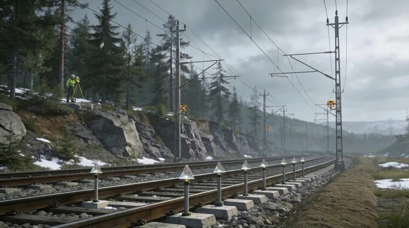
Heavy construction works near live railway tracks demand absolute confidence in how the infrastructure behaves over time. As a land surveyor on several Bane NOR projects in Norway, I was responsible for third-party settlement monitoring and dimensional control on busy rail corridors. My role was to detect even small movements early and give designers, contractors and the infrastructure owner reliable data for safe decisions.
Project Facts
- Client typeNational rail infrastructure owner and main contractors
- LocationNorway (Kongsvingerbanen, Follobanen, Bergensbanen, Nordlandsbanen, Ofotbanen)
- RoleLand surveyor providing settlement monitoring and dimensional control
- ServicesStatic GNSS surveys, precision levelling, benchmark networks, deformation analysis, QC reporting
- SectorRailway and heavy civil infrastructure
01Building Next to Live Tracks
Major upgrades and new structures were being built alongside existing railway lines that had to remain safe and operational. Excavations, new embankments and structural works can all cause ground and track movement, which must be measured and kept within strict limits. The infrastructure owner needed a reliable, independent picture of settlements and deformations while contractors pushed ahead with tight construction programmes.
02Robust Monitoring and Dimensional Control
Designing a stable control network
I first established and verified a network of benchmarks and control points away from construction influence, using static GNSS and precise levelling. This gave every subsequent measurement a trusted reference frame and ensured results were comparable over months and years.
High-precision measurements on critical assets
On and around the tracks, I carried out regular high-precision levelling runs on rails, sleepers and reference points, static GNSS surveys to tie the local network into national reference systems, and dimensional control of new structures, foundations and earthworks close to the track.
Data handling and deformation analysis
Measurements were processed into time series, highlighting settlements and horizontal movements at each point. I compared these against design tolerances and trigger values, and flagged any trends that could develop into safety or serviceability issues. Results were summarised in clear tables and drawings that could be understood quickly by project managers and engineers.
03How the Data Was Used
- The rail owner and contractors could verify that settlements stayed within agreed limits during different construction phases.
- If movements approached thresholds, the team could adjust construction methods or sequence before they became critical.
- Dimensional control of new works ensured alignment with design and with existing infrastructure, reducing the risk of rework and handover delays.
04Value for Rail and Infrastructure Clients
- An objective, documented basis for safety assessments and approvals.
- Reduced risk of track geometry problems and service disruption.
- Confidence that new structures and earthworks were integrated correctly into an already complex rail environment.
05Key Takeaways
- Third-party monitoring removes bias and strengthens safety governance.
- Precision levelling and GNSS are proven tools for tracking infrastructure behaviour.
- Early detection of trends prevents costly interventions and service disruptions.
Related service
Land Surveying & Dimensional Control Consulting →Interested in a similar project?
Get in Touch