Case Study
Dimensional Control and Laser Scanning for a Complex Wastewater Facility
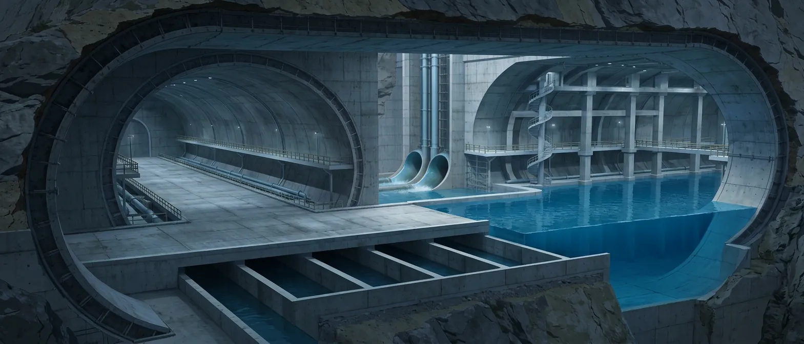
Wastewater tunnels and treatment plants are dense, three-dimensional structures where concrete, steel and MEP installations all compete for space. As a land surveyor on Norwegian projects such as VEAS Slamsilotunnelen and UBRA – Bekkelaget wastewater treatment plant, I was responsible for all surveying work: from setting-out to as-built documentation. The focus was to keep construction within tight tolerances and give the project team reliable data for coordination and handover.
Project Facts
- Client typeMajor Norwegian contractor building for public owners
- LocationNorway (wastewater tunnel and treatment plant projects)
- RoleSurveying manager / land surveyor responsible for all site surveying and QC
- ServicesSetting-out, laser scanning, dimensional control, as-built documentation
- SectorWater & wastewater infrastructure, underground works
01Tight Tolerances in a Confined, Critical Facility
Treatment plants and associated tunnels have complex geometry and dense technical installations. Misalignment of walls, shafts or pipe penetrations can cause costly rework, delays and long-term operational problems. The contractor needed a surveying lead who could plan and execute all measurements, ensure traceable dimensional control, and keep construction aligned with both the 3D design and strict client requirements.
02Survey-Driven Quality Control
Planning the survey strategy
As surveying manager, I planned the control network, measurement methods and check routines for each construction phase. This included selecting instrument setups, defining tolerances and agreeing control procedures with the project engineers and site management.
Setting-out and construction support
On site, I set out formwork, walls, slabs, tunnels and shafts against the 3D design, provided ongoing support to site crews, checked critical dimensions before concrete pours and after striking formwork.
Laser scanning and as-built capture
For complex areas, I used laser scanning to capture full 3D geometry. Scans were registered and compared with design to detect deviations, clashes or deformations early, and to provide as-built point clouds and models for the contractor and client.
Documentation and handover
I prepared survey reports, deviation logs and final as-built documentation, giving the project a clear dimensional record for commissioning and future maintenance.
03How the Project Team Used the Data
- Site engineers used set-out and check measurements to keep critical structures on line and level.
- Designers and BIM coordinators used as-built data to verify clearances and adjust designs where necessary.
- The client received transparent evidence that the finished facility met contractual tolerances and geometric requirements.
04Value for Complex Infrastructure Projects
- Fewer geometric clashes and construction surprises.
- Better coordination between civil works and technical installations.
- Stronger, more credible documentation at handover and for future upgrades.
05Key Takeaways
- Early laser scanning and BIM integration prevent major rework.
- Traceable dimensional control supports client confidence and compliance.
- As-built documentation adds long-term value for facility management and future upgrades.
Related service
Land Surveying & Dimensional Control Consulting →Interested in a similar project?
Get in Touch